A GIS portal will help prevent victims of the heat in the USA.
About 700 Americans die each year from high temperatures, making heat the deadliest form of extreme weather. In order not to grow, along with the increase in heat, and the number of people who get sick or die because of it, the White House relies on the geographic information systems and software solutions of the leader in the field of these technologies – Esri Inc.

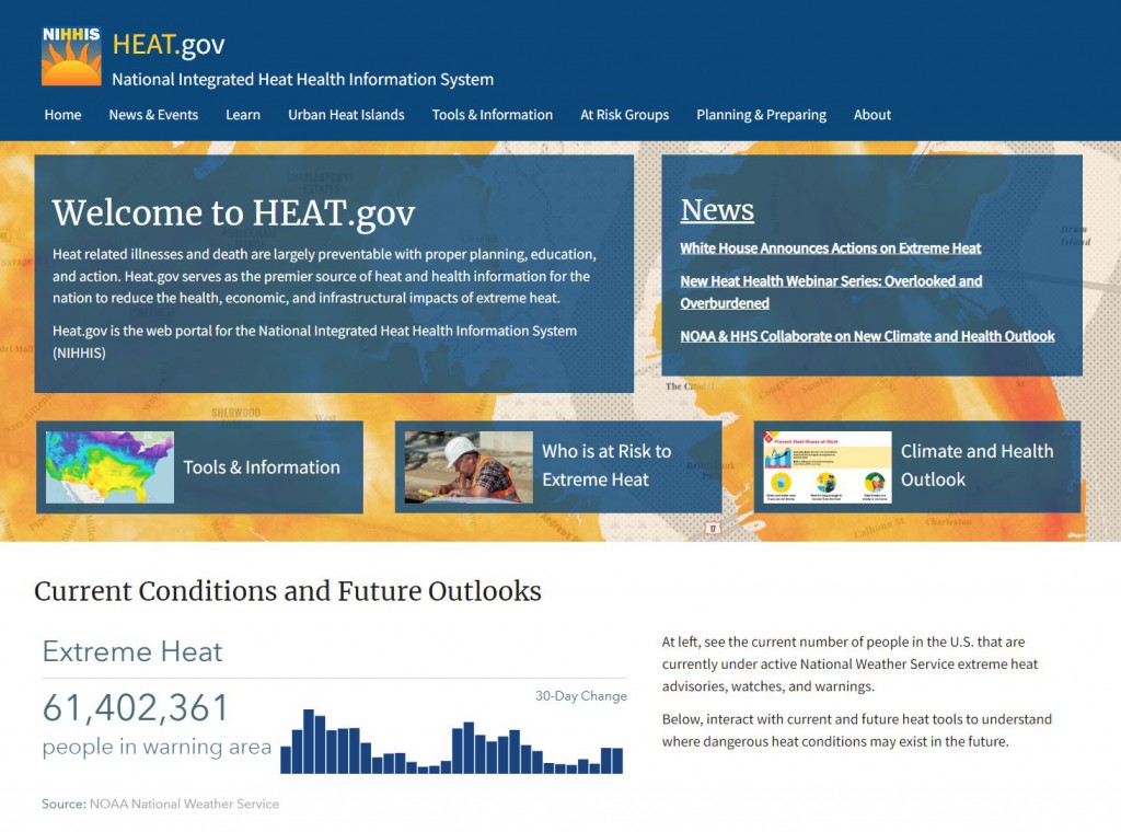
For the second year in a row, President Biden’s administration is launching a website to help residents in America’s hottest spots, and across the country, prepare for a safe experience on super-hot days. The Heat.gov website was created to “provide the public and decision-makers with clear, timely and science-based information to understand and reduce the health risks of extreme heat,” according to the official media release. Heat.gov is aimed at a wide range of decision-makers, from the managers of large companies and local government representatives to individuals, such as the mother trying to decide whether it is safe for children to play outside or the leader of a construction crew who must to judge whether it is good for the workers to be in the field, etc.
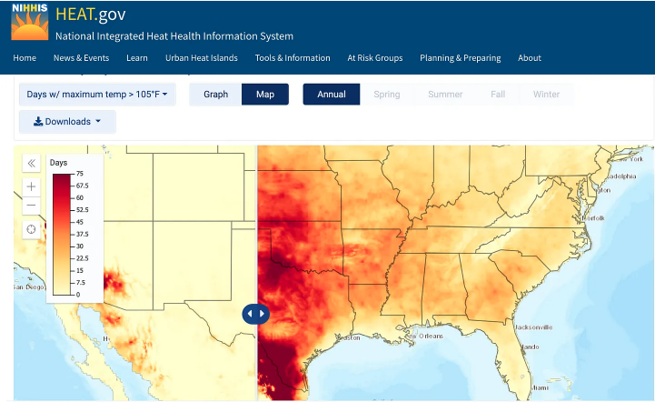
Heat.gov prominently displays a counter of how many people in the U.S. are living under a heat advisory each day (more than 39 million at the time of the site’s launch). It also serves as a repository for existing data and useful information from various agencies but also has new resources and tools with updated data on which to forecast and plan.

Heat.gov relies on global Geographic Information Systems from the leader Esri for the core technology of this life-saving portal.
###