Esri Bulgaria is also participating in the new phase of the project as part of the hub’s partner network
Photos: Stroitel Newspaper
The European Digital Innovation Hub (EDIH) in the construction sector has officially launched its second phase – EDICS 2.0. This new stage builds on the achievements to date and places a strong emphasis on the adoption of artificial intelligence, innovative technologies, and sustainable digitalization.
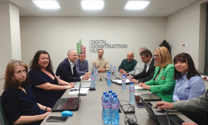
During an official meeting held on April 16, project partners discussed priorities and opportunities for the upcoming period. The initiative is being implemented under the call Consolidating the Network of European Digital Innovation Hubs and is co-funded by the European Commission’s Digital Europe Programme.
So far, more than 700 professionals have been trained, over 250 small and medium-sized enterprises have received support, and more than 300 companies have benefited from the hub’s services. These results reinforce the hub’s role as a driving force behind the modernization of the construction sector in Bulgaria.
Key priorities for the second phase include the integration of AI into construction processes, the advancement of BIM and GIS technologies, data analysis and management, digital twins, and the upskilling of industry professionals.
New services are also planned, including an AI Helpdesk designed to support SMEs in identifying their needs and selecting the most suitable digital solutions, training programs, and consultancy services.
Among the attendees at the event was Miglena Kuzmanova, Managing Director of Esri Bulgaria, who highlighted the importance of collaboration between the technology and construction sectors:
“Digital transformation requires joint efforts, expertise, and a clear vision. We are pleased that, as part of this initiative, we can implement a wide range of GIS technologies that contribute to better planning, management, and development of construction processes”.
As a partner and co-founder of the EDIH, Esri Bulgaria continues to support the development of smart solutions through geographic information systems and spatial analytics, helping create a more efficient, sustainable, and competitive environment for businesses and the public sector in the long term.
###