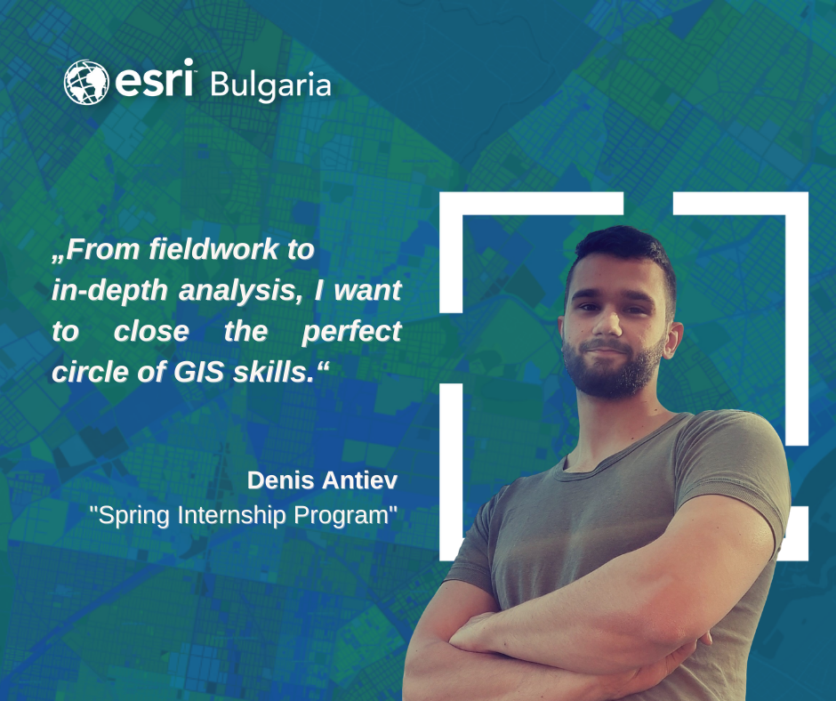
Interview with Denis Antiev, a participant in the “Spring Internship Program” 2022 of Esri Bulgaria.
Denis Antiev recently passed with a very good result on his state exam for a bachelor’s degree in Geography at Sofia University “St. Kliment Ohridski ”. But although he has long been interested in this particular science, Dennis did not immediately turn to this study. As he told us – first he studied for a year something that did not particularly excite him…
I spent two semesters and eventually decided to give up this study and study what I want – geography. And I wanted not just to study my favorite science, but to acquire knowledge and skills with which to make money from it one day. I enrolled in geography at Sofia University and in the first year I was quite hesitant because I also liked the natural sciences: geomorphology, climatology, and those for the formation of relief, geology was also interesting to me. But then, when I took out some of the electives for GIS – I knew what was coming! Then – every elective subject that was with GIS, I chose it. It was interesting to me. And my master’s degree will certainly be in GIS!

How did GIS win you over?
Drones grabbed me, satellites grabbed me, software grabbed me – how data is processed and visualized. In GIS, it may not be every day, but very often something new comes out. Science is still young, it is constantly evolving and that definitely won me over!
How did you choose an internship in Esri Bulgaria?
I have been interested in Esri since we learned about them at the university, and that they are among the founders of GIS. I follow social networks, I saw that there is an internship with GIS and I just had nothing to think about! I immediately applied and was very happy when I was approved!
And how do you feel about us – already dealing with GIS?
This was one of the ideas of the internship: to see how the work itself goes because we study at the university – let it not be a completely dry theory, but we do not have specific cases. And now I’m working on a project that involves processing thousands of documents. I expected it to be exactly what it is. I’m happy, I think I can do it and it’s very interesting!
Did you learn something new?
For the first time, I used some features in ArcGIS Pro. About working with GIS – I’m working on two new features that are quite useful. I used APPEND, which attached an Excel spreadsheet with the data I work with – so that other data wouldn’t get mixed up, which used to be a big problem for me when I was doing projects. And more – we used CALCULATE FIELDS for faster data entry. I am familiar with the function itself, but during my internship, they showed me how to write Python commands.
Is the internship useful for you?
It is certainly useful for now! At the end of the internship, I will see exactly what, but it has been several months… it is useful for me because it creates habits, and responsibility as well. Every day I try to work at the same time, to do it as a routine, which is nice. Knowing that I have to sit down and spend 5 hours and focus on this – there are many benefits.
And communication with colleagues is also very useful to me.

What would you say to those who are now starting to deal with GIS?
To be interested. One must have an interest in the matter and keep track of new things. And if they don’t have a job at the moment, that doesn’t mean they don’t do anything – you can always find courses on the Internet or read a book. In the newer versions, the books also have exercises that also help a lot… Anything, but keep your interest!
What are your plans, and what do you want to do?
I will continue with GIS. I want to become an expert. And in the future I would like to do this, it seems interesting and promising. I would very much like to collect data with drones. They attract me and are interesting to me, and I would at least make them my hobbies, along with fitness, gatherings with friends, and rock music.
I don’t want to sit all day in front of the computer, I dream of working in the field, collecting data, processing them… Everything! From field data collection to in-depth analysis – I want to close the perfect circle of GIS skills for me.
###