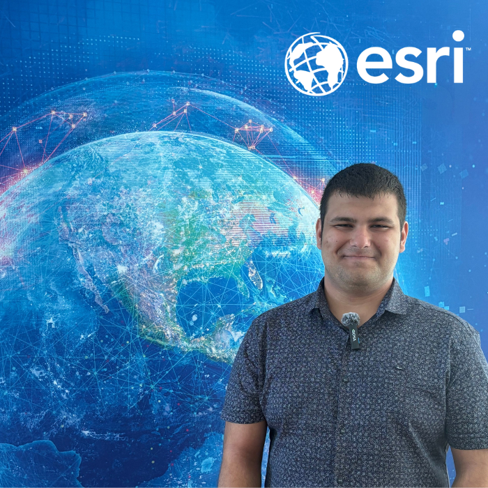
Interview with Lalo Lalov, GIS and Databases Intern
Lalo Lalov holds a Bachelor’s degree in Geospatial Systems and Technologies from Sofia University “St. Kliment Ohridski.” His love for geography began with childhood encyclopedias, grew through the competition halls of national Olympiads, and eventually led him into the world of Geographic Information Systems (GIS). A place where knowledge meets technology – and provides solutions to real-world challenges.

How did you first get into the world of GIS?
My interest in geography started when I was a child. I loved reading encyclopedias about different countries, the history of societies, and other fascinating facts. I took part in many school Olympiads in different subjects, but my greatest passion turned out to be geography. I’ve competed five times in the national round of the Geography Olympiad, with my best achievement being 2nd place. I was also awarded the title Laureate and was twice part of the extended Bulgarian team for the International Geography Olympiad.
In 11th grade I learned about the then-new program Geospatial Systems and Technologies, which combined geography with my other interests – mathematics and computer science. I immediately knew that this was my path.
Why did you choose an internship at Esri Bulgaria?
Esri Bulgaria is a leading company in the GIS field, so it was logical for me to choose it as a young person who plans to pursue this career. I had known about the spring internship since my first year, but I decided to apply now because I felt ready not only to learn from my colleagues but also to contribute to the company’s success.
What was your “wow” moment during the internship?
That was definitely my very first task at Esri. For the first time, I saw how various analyses could solve a rather complex problem. The task was to create new service zones where the total number of hours required for servicing the sites in each zone would be balanced.
What did you learn at Esri that you couldn’t find in a textbook?
The most valuable thing I learned was the importance of teamwork – one person knows one thing, another is good at something else, and when we combine our efforts, things really work out.
Which GIS tool became your superpower?
That would be the Build Balanced Zones tool. I suggested it during my very first team discussion as a possible solution to my initial task. In the end, it became part of the final solution to the problem, which made me really happy.
Tell us about a specific project or task during the internship. What was your role and contribution?
One of my tasks was to describe the structural changes in a CAD 5 file compared to its previous version. This assignment was entirely entrusted to me, and the result was used to transfer data from CAD format into a geodatabase.
My mentor taught me…
… not to be afraid to ask questions and how to work better in a team.
What is your most valuable lesson from the internship?
That there is always something to learn from every single task and every colleague.
If you could create a map or an app – what would it be, and why?
The maps and applications that inspire me most are those addressing social needs. It’s incredibly useful to present socially significant problems in a visual way that raises public awareness. The topics that interest me most are ecology and social issues. If I were an all-powerful GIS expert, I would create a real-time map of all environmental changes taking place on Earth. I believe this would make people realize that now is the time to act to protect our one and only home – the planet.
Our internship program is called “Kick-start Your GIS Career with Perspective.” How do you see the prospects for young people in GIS in Bulgaria?
I think this is a highly innovative field that is only going to expand globally and in Bulgaria. The fact that innovations often reach Bulgaria more slowly than in other parts of Europe is not an obstacle, but rather an opportunity for my generation to develop here what has already been achieved elsewhere. So I would say Bulgaria is actually one of the most favorable places for young specialists in high-tech fields – including GIS.
Choose one:
-
Python or ModelBuilder?
ModelBuilder, because I like seeing how different data and processes interact.
-
Coffee or map first thing in the morning?
Map, because I don’t drink coffee.
-
Map Mars or the ocean floor?
The ocean floor – every time I learn how little of it has been mapped, I’m amazed.
-
ArcGIS or QGIS?
ArcGIS, of course. It offers far more capabilities, both for analysis and for visualization. I prefer ArcGIS.
-
GIS at the desk or GIS in the field?
At the desk – I prefer analyzing data rather than collecting it.
-
Mentor or GeoAI?
Mentor – nothing can replace learning through human interaction.
How do you see the map of your own future?
I definitely see it as an online map – dynamic, with a changing scale, and the ability to add new layers of data. Beyond the metaphor, I see myself in the GIS field, working on diverse projects, always ready to learn something new and solve new problems.
###