The event gathered more than 1,800 views from participants across the country.
The geospatial approach is the future. Under this motto and with the participation of leading international and Bulgarian experts, Bulgaria celebrated the World Geographic Information Systems (GIS) Day. The official organizer of the event for the country is ESRI Bulgaria – the company that this year celebrates 25 years since its establishment.
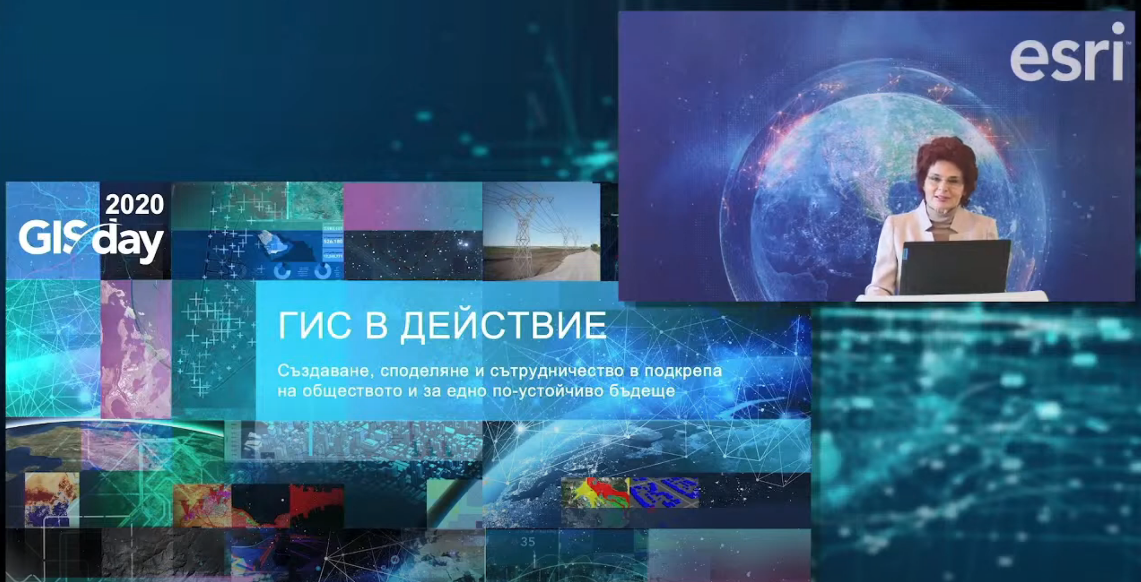
The online conference gathered more than 1800 views from participants from all over the country, representatives of almost every sphere of the economy in our country. The event presented the latest developments, solutions, and good practices in the field of geospatial technologies and their application to address the various challenges we face – from climate change such as drought and floods, through the coronavirus pandemic, crisis management, security, engineering infrastructure, to urban planning and much more.
“We are ready to support you, the organizations in Bulgaria, with data, services, and models in disaster management even before the events,” said Dr. David Green, director of the program “Applied Sciences in Disaster Management” at NASA. At the conference, he presented NASA’s solutions and the possibilities for their use by Bulgarian institutions, including NASA’s Geoportal for Disaster Management, developed on the Esri GIS platform.
This year’s edition of the conference was also attended by the Esri President, Jack Dungermond - one of the initiators of the World GIS Day and winner of numerous awards and prizes for his contribution to the field of Geographic Information Systems, including 13 honorary degrees. “GIS maps and dashboards are becoming and will become more widespread, becoming the new leading source of information that allows us to better understand, inform and display data in a more efficient way,” said Dungerond. In his presentation, he showed the latest opportunities and trends in the development of GIS technologies, as well as their practical application for the needs of different fields.
Another major focus of the forum’s program was the implementation of GIS in support of the efforts to combat Covid-19. In this session, Ensheng Dong, the creator of Johns Hopkins University’s worldwide dashboard to monitor the spread of coronavirus, presented his experience and best practices in implementing GIS to monitor and perform analyzes to help fight the pandemic.
Traditionally, the conference also demonstrated the new technological capabilities of the Geographic Information Systems for the needs of cadastre, environment, utilities, telecom, health, security and public order, local government, territorial development, transport, e-government, and others.
“There is no other forum that can bring us all together – people from different industries, with different backgrounds – as GIS Day brings us together. We are interconnected through the science of GIS, through the power of GIS technologies, through the need for their application“, commented Evgenia Karadjova, Manager of Esri Bulgaria.
The 2020 World GIS Day in Bulgaria is organized in partnership with 40 leading organizations from various fields in our country, including Sofia University “St. Kliment Ohridski”, Bulgarian Association of Software Companies, American Chamber of Commerce in Bulgaria, National Association of Municipalities in the Republic of Bulgaria, Foundation for Local Government Reform, Bulgarian Council for Sustainable Development, Union of Surveyors and Land Managers in Bulgaria, Union of Architects in Bulgaria, Union of Urbanists in Bulgaria, Chamber of Builders in Bulgaria, Bulgarian Water Association, AFCEA Section Sofia, Association of the Police Chiefs, Bulgarian Chamber of Commerce and Industry, Atlantic Club in Bulgaria, Digital National Coalition, Move.bg, Bulgarian Cartographic Association, The Academy of Sciences, University of Architecture, Civil Engineering and Geodesy, University of Mining and Geology, University of Forestry, New Bulgarian University, Society for Preservation of Nature and Cultural Heritage with GIS – Branch Bulgaria, Green Balkans, Bulgarian Geographical Society, Geographer BG, Bulgarian Red Cross, The NATO The Crisis Management and Disaster Response Centre of Excellence, Bulgarian Chamber of Mining and Geology, Bulgarian Gas Association, Road Safety Institute, Electronic Communications Association, Bulgarian Association of Cable and Communication Operators, Bulgarian Association for Geospatial Information Systems. Media partners: bTV Media Group, National Geographic Bulgaria, City Media Group, CIO, Computerworld.
###