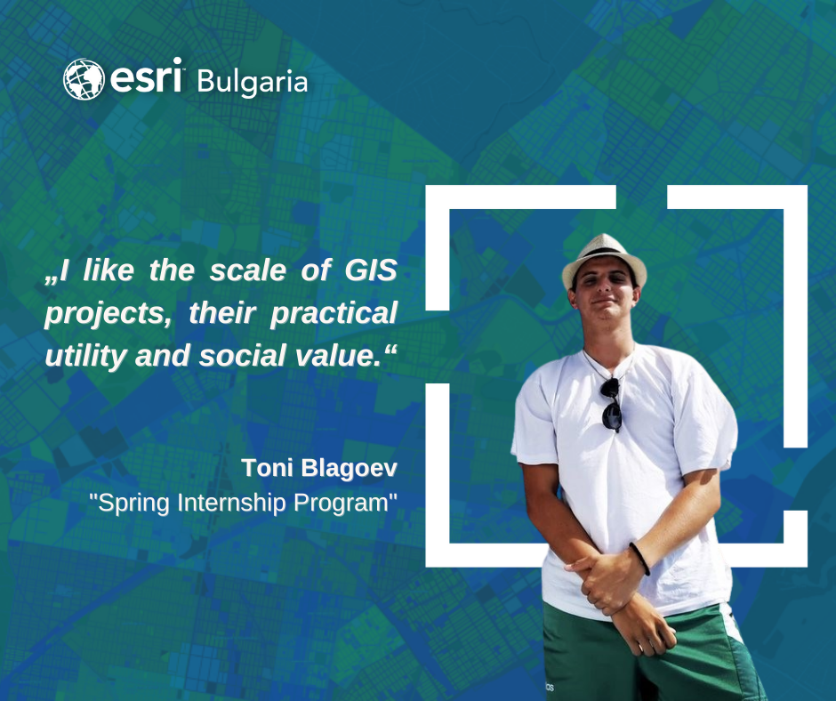
Interview with Toni Blagoev, a participant in the “Spring Internship Program” 2022 of Esri Bulgaria.
It is no coincidence that someone like Chavdar Toshkov, awarded in 2018 for his innovative teaching methods, is your teacher. The geography teacher at the Geo Milev Mathematical High School in Pleven is the man who helped Toni choose what he wanted to do. The boy’s alert mind wandered in all directions – he liked hydrology and meteorology, but he also wanted to study. At the National Academy of Theater and Film Arts, and at the National Academy of Sciences… When he was in 12th grade, Toni said he would apply for medicine. The teacher asked him if he was preparing for the exams, and Toni’s answer was no. Chavdar Toshkov did not stop there, because he had long seen what the real passion of the boy was and offered him to prepare him for the exams for the specialty of Geography at Sofia University “St. Kliment Ohridski ”. Toni seemed to be waiting for just that…
And this was only the first time Fate seemed to intervene to “push” Toni into a career in geography. There is something almost intimate in his first contact with GIS, as he himself says…
… At the university we gradually started working with ArcGIS software and my first coursework related to GIS was to make a few maps. I didn’t know this program then – but I played music, sat down, and started doing something just to study the software and suddenly it turned out that everything came from me, ideas and work with the program came from nothing. I quickly got used to the ArcGIS software and I felt that I was good inside and it was easy and natural for things to look good, to be meticulously done because that’s how I like to do things.
When did you decide to get serious about GIS?
In his first year at university, he had a discipline in geospatial technology, which was an introduction to what GIS is. We looked at projects for the development of urban regions in the United States and worked with ArcGIS, which I was easily ignited by. And from then on, when we had electives, I always wrote down those that were related to GIS. And again, in 4th year – I wondered what to write for a master’s degree, I hesitated because I had interests in hydrology and meteorology, I had in regional development… But in the end, I decided to enroll in GIS, because they are the basis of all geographical projects and without GIS, in general, it is difficult to make a project nowadays, it is even almost impossible.
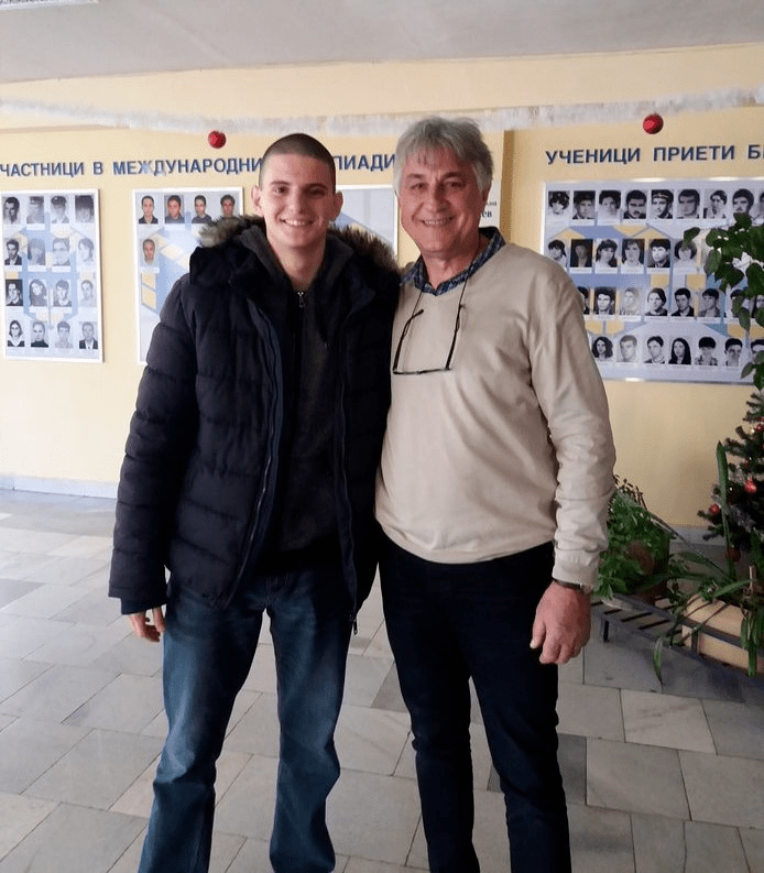
Toni Blagoev with his geography teacher Chavdar Toshkov
How did you decide on an internship in Esri?
I have known since my first year at university that Esri is the largest GIS company in the world, Esri Bulgaria is also the largest GIS company in Bulgaria. And I saw this as a good opportunity for development. Most of all, I wanted to gain experience, because learning provides the basis, and builds the foundation of what you want to develop later, but the internship is an invaluable experience.
What is invaluable in it?
At least here you spend your time working on projects. At the university, when working on a project, you work like a car by inertia. There are stages in which you are progressive and able to work and others in which you do almost nothing. While here I have already learned to allocate my time quite well and to be able to work on a project with quality and at the same time quickly.
The other thing that is valuable for me is to face the real work process. The project I am working on involves downloading geographical information from documents, which is not such a simple task to see where the investment proposal is and to write in a table, it requires a more in-depth reading of the document, it requires a person to analyze the information itself, to deal with more specific cases in the documents. This also develops spatial thinking.
Did you acquire any new technical skills?
The first week we went through various trainings for ArcGIS Pro and there were some that really impressed me. One was for displaying 3D models, there was for image analysis, and especially the Model Builder function because it significantly reduces the time of work processes. It is much faster, much better and most of all the program is not burdened with opening 20 windows. One function that I normally perform 20 times, with Model Builder I can do in 5 minutes, and then it can be performed in 10 minutes. And that’s it, otherwise, I waste 1 hour!
How do you feel in the company, do you like the internship?
I really like the internship! The constant connection between us, the interns, and the mentors – the constant communication on how to do our things and work, creates a very pleasant feeling in me that I am a part of this work process. That feeling of satisfaction with a job well done is obtained.
What would you say to those who are now starting to deal with GIS?
When a person starts working in a field, he always looks at whether there will be development in it, not only personally but also professionally, whether the field itself is developing, whether it would bring satisfaction and financial security… And looking at the statistics that in The United States is in third place among the best-paid professions to be a GIS specialist and they are among the most sought after personnel, in Western Europe GIS technologies are also developing a lot – they can easily develop in this field. GIS projects are not small projects to spend time with, but they are usually quite large. And being part of such a project brings great satisfaction.
What do you want to do from now on?
It is now a bit vague at the beginning of my plan, but I have more or less an orientation of what I want: to successfully defend my dissertation, I have focused on the implementation of GIS in hydrology and meteorology. And subsequently, I would like to deal with projects that are related to this, but most of all I want to work on projects that I see potential to be used and practical, and that have value, whether microeconomic or macroeconomic, whether socially… I really like the scale of GIS projects, their practical usefulness and public value.
Tell us a little more about yourself…
I’m a sick sports fan. From a young age I try to follow all sports, especially where there are developing Bulgarian athletes. As a child, I first practiced table tennis for 2 months, then 3-4 years of volleyball, then 5 years of basketball, all this time I played football, I went boxing for a while before I got a serious injury and stopped.
I also like things related to mass culture, such as cinema, theater, and television, I like projects with deep meaning in them, which carry a message to the viewer. This is what I try to look for in sports – as in culture – the message it gives to the viewer. Each sport is a tool for stealing ideas for sportsmanship, for respecting the opponent, for measuring strengths according to the technical qualities of different athletes.
 „
„
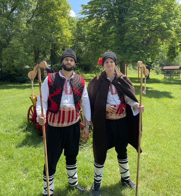
Toni with Denis Antiev, also a participant in the “Spring Internship Program” of Esri Bulgaria
And what do you dream about?
I am not a fan of dreams. I would rather set goals and strive to achieve them one after the other than have a dream. I think it would be nice to live somewhere else – abroad, to gain experience and develop my skills, because in countries like Germany and Austria, for example, GIS is very developed. I would work in such a country for 2-3 years, but then I want to return and apply the experience gained in Bulgaria, for the benefit of the state. I believe that if a person is born in a certain place, then there is a reason to be born right there!
###