A new agreement between Esri Inc. and Maxar Technologies will provide ArcGIS users with imagery of nearly half the Earth’s surface, with resolution enhanced from 1.2 m to 60 cm.
The vast Esri Living Atlas of the World collection of geographic data—including maps, apps, data layers, and more—will now offer even higher-resolution Maxar Vivid basemaps to ArcGIS Online users. This was made possible by the conclusion of a new multi-year agreement between the two technology giants Esri Inc. (a global leader in GIS) and Maxar Technologies (a provider of total space solutions).
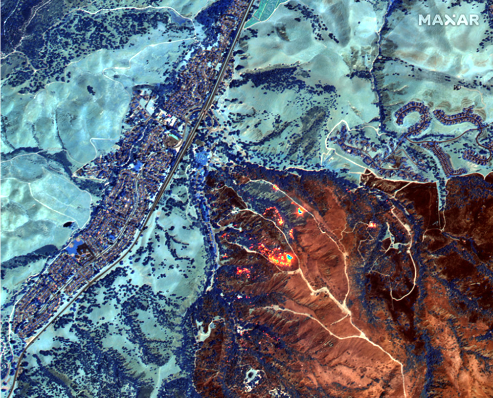
ArcGIS users around the world rely on Living Atlas every day to create new derivative maps and data layers, to conduct ecological surveys and build fire dashboards, and for many other applications. The new agreement makes it possible for Esri to provide Living Atlas basemaps with improved resolution from 1.2m to 60cm. This improvement reflects the continued investment by the Esri Living Atlas team to provide the highest quality image basemaps and the most -high resolution to ArcGIS users to create more accurate maps and make better decisions.
Over the past decade, Maxar has become the largest provider of satellite imagery for Esri’s Living Atlas, providing a clear and highly accurate layer of global satellite imagery to support mapping, visualization and analytics. Maxar provides quarterly updates to Vivid so that ArcGIS end users have the most up-to-date data possible.

The Maxar products available at Living Atlas:
• Vivid Standard is a high-resolution, high-accuracy global image basemap built with Maxar satellite imagery;
• Vivid Advanced builds on the quality of Vivid Standard in select urban areas with nearly cloud-free image basemaps;
• NaturalVue® 2.0 is an image mosaic that combines more than 60,000 Landsat 8 images to create a seamless, virtually cloud-free, 15-meter basemap that reflects Earth’s true colors;
• The National Urban Change Indicator (NUCI) is a commercial product that highlights areas of new construction by isolating changes that persist over time derived from more than 13,000 Landsat images.
###