Learn more about new Esri GIS solutions to help NGOs protect biodiversity and natural resources!
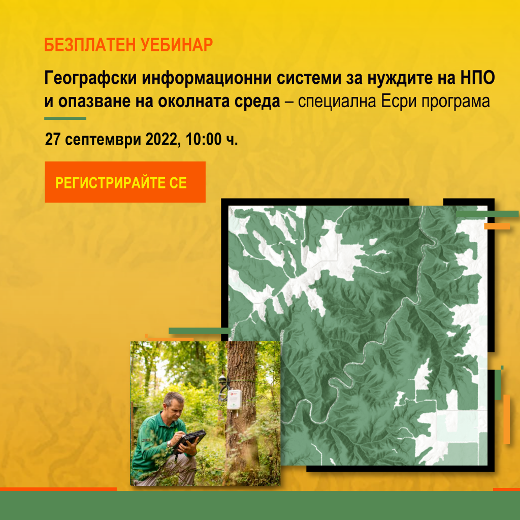
The webinar “Geographic information systems for the needs of NGOs and conservation – a special Esri program” will be held on September 27 from 10:00 to 11:30 a.m. The event is free, but registration is required.
For more than 50 years, Esri has been developing software solutions that today are used by more than 350,000 organizations worldwide, of which 100,000 are in the NGO sector. Esri has long-standing successful partnerships with some of the most recognizable companies with noble missions for the planet and humanity, such as the Red Cross, WWF, UNICEF, UNESCO and many others.
Number of participants is limited, so register now to learn how to take advantage of:
• Esri Conservation Program;
• Esri NGO Program (and current grant application session);
• The ArcGIS Online platform in the fields of biodiversity, natural resources and conservation;
• The new possibilities for joint work on projects and programs in a unified GIS environment with shared maps and data;
• Ready-to-use GIS applications – from field monitoring to results analysis dashboards – application configuration is in your hands.
There is also time for a Q&A session!
###